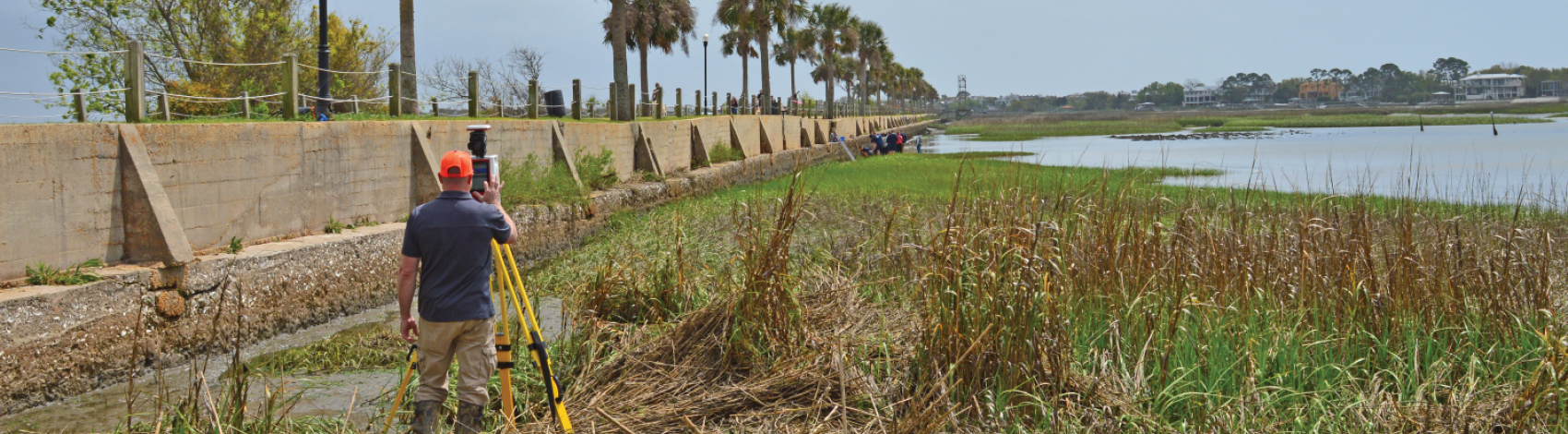
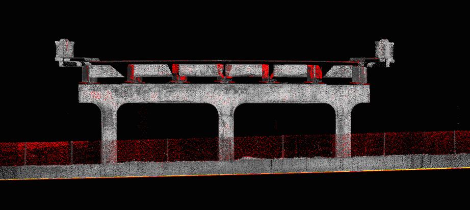
GEL Solutions offers 3D Laser Scanning, an advanced LiDAR mapping technology that produces high quality, 3D data. This fully portable system can be employed to accurately document and record a range of objects and landscapes and can withstand harsh environmental conditions. 3D Laser Scanning allows for coverage of large areas in a short amount of time while delivering detailed, precise results.
APPLICATIONS
- Structure Monitoring including Buildings, Bridges and Walls
- Topographic Surveys
- As-Built Surveys
- Water/Wastewater Retrofit and Expansion
- Transportation Infrastructure
- Pavement DTM’s for Hydroplaning Analysis
- Rail/Track Investigation
- Historical Presentation
- Floor Flatness Surveys
Benefits
- Rapid acquisition of accurate data
- Allows for data collection in areas not accessible with conventional survey methods
- Remote capabilities
- Efficiency for large areas
- Cost-effectiveness
- Safer and less intrusive than traditional surveys
EQUIPMENT AND SOFTWARE
Our team performs scan surveys with Riegl and Leica laser scanners which are known for their performance, accuracy, and adaptability on a range of applications and environments. Point cloud data is processed with Leica Cyclone® and TopoDOT® software.
GEL Solutions conducted a terrestrial LiDAR scan of the Bennett Rice Mill façade in Charleston, SC to support GEL Engineering’s structural assessment investigation. Scans of the target area were performed to create to-scale CADD views, offering precision detail of the structure. The deliverable was produced using a 3D triangulated, colorized mesh and Virtual Reality (VR) technology.
Get In Touch
How we can help you solve your unique challenge with our breadth of expert services.