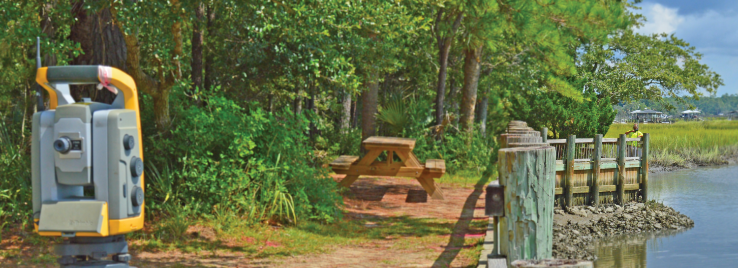
With multiple surveying crews and a full range of both land and hydrographic surveying services, GEL’s surveying team provides reliable data and construction support for projects ranging from small lot surveys to large industrial sites.
Topographic Surveys
GEL Engineering’s topographic surveys involve collecting data on the earth’s surface of both natural and cultural improvements, showing significant changes or relief in the character of the land. GEL Engineering specializes in conducting topographic surveys on heavy industrial sites, commercial properties, and larger parcels.
Boundary Surveys
Boundary surveys precisely define property lines, making them essential for landowners and prospective purchasers. GEL Engineering excels in conducting boundary surveys for large industrial and commercial properties, ensuring clear property demarcation.
Cross-Section and Profile Surveys
GEL Engineering conducts cross-section and profile surveys for roadway work and utility rights-of-way. This survey method involved collecting precise data on a set interval to ensure detailed and accurate information is obtained for construction activities.
UAV / Drone Surveys
GEL Engineering leverages unmanned aerial vehicles (UAVs) for data collection, utilizing Light Detection and Ranging (LiDAR) technology for superior results for our clients. We complement LiDAR with various remote sensing technologies to enhance survey accuracy.
GPS or GNSS Surveys
For most of our projects, GEL Engineering employs the Global Navigation Satellite System (GNSS), utilizing up to five different satellite constellations to pinpoint positions accurately on the Earth's surface.
Easement and Record Plats
GEL Engineering has extensive knowledge of preparing easement plats for new or existing rights-of-way and other instances where an easement may be used. GEL prepares easement plats for recordation in the public domain.
As-Built Surveys
GEL Engineering conducts surveys of newly constructed or recently constructed sites and gathers “as-built” information to submit to governing bodies for proper or acceptable adherence to local codes.
Construction Layout / Staking
GEL Engineering services include construction layout and staking for a wide range of land and waterfront projects, offering precision and reliability in harbor and waterway construction.
ALTA / NSPS Surveys
GEL Engineering performs ALTA/NSPS surveys utilizing advanced equipment and methodologies that adhere to the guidelines specified in ALTA/NSPS instructions.
Horizontal and Vertical Site Control Analysis
For construction purposes, GEL Engineering provides site control services, often in conjunction with construction layout/staking, to ensure accuracy and precision.
Hydrographic / Bathymetric Surveys
GEL Engineering's extensive capabilities in hydrographic and bathymetric surveys include the use of single-beam and multibeam technologies to capture underwater topography with precision.
GIS Mapping
We offer GIS mapping services using GNSS and conventional surveying equipment, providing accurate geographic information systems data.
Photogrammetric Ground Control
GEL Engineering provides South Carolina State plane information for aerial panels used in LiDAR and photogrammetry projects, ensuring high-quality geospatial data.
Digital Terrain Modeling
Using point cloud data generated through LiDAR surveys, GEL Engineering creates detailed digital terrain models (DTMs) using advanced software for accurate post-processing.
Right-of-Way Acquisition
We specialize in surveying and preparing plats or exhibits for right-of-way acquisition, primarily for new roadways or utility rights-of-way projects.
Elevation Certificates
GEL Engineering possesses expertise in surveying flood-prone properties to determine flood zone compliance and prepare reports that align with federal emergency management agency (FEMA) guidelines.
Side Scan Sonar
GEL Engineering’s side scan sonar service is used to locate specific submerged items with precision, providing valuable underwater insights.
Get In Touch
How we can help you solve your unique challenge with our breadth of expert services.